How Passive RF Detection Fills the UAS Surveillance Gap at Class G Airports
Passive RF detection offers small airports affordable drone awareness without radar infrastructure.
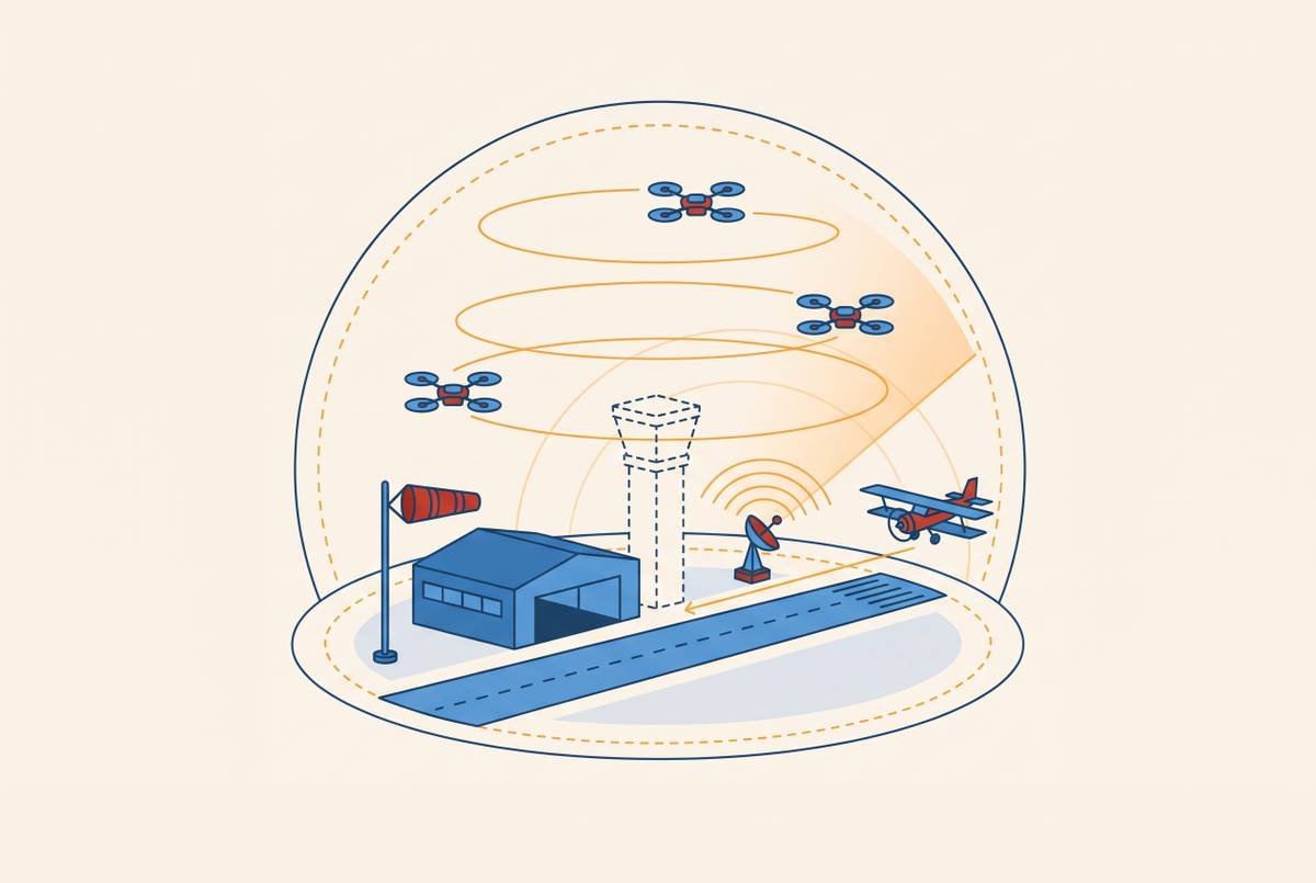
Passive RF detection gives Class G airports a first layer of UAS awareness by picking up drone-controller signals without the need for active emissions or radar-scale infrastructure. Digital ATC infrastructure can supply the power, connectivity, processing, and displays that connect this layer to airport operations. RF works best within a layered system because its detection coverage is limited to communicating drones, and response requires authority beyond awareness alone.
Why Class G airports face a UAS surveillance problem that existing tools cannot solve alone
At a non-towered Class G airport, there is no ATC service, dedicated radar surveillance, or systematic ground observer to identify an approaching drone. Class G airspace is uncontrolled, and UAS have no mandatory transponder carriage requirement. No automatic observer fills that structural gap. Pilot-based see-and-avoid therefore becomes the practical backstop when an untracked object approaches a flight path, but the small size of a drone can leave dangerously little time to respond.
ATC radar and ADS-B serve aircraft that are large enough to detect or equipped to report their presence, while small, low-flying drones can remain outside that surveillance picture. Remote ID serves a different purpose again. It supplies identity and position information to authorities, but it is not a detect-and-avoid system or an air traffic control layer. Receiving an identification broadcast does not, by itself, resolve a conflict with arriving traffic.
The FAA receives over one hundred UAS sighting reports per month near airports, with the volume climbing. Most reports originate with pilots or bystanders, with ground sensors playing a smaller role. Those reports illustrate dependence on incidental human observation. At Class G fields, the absence of a tower makes that dependence especially consequential because there is no controller systematically observing activity and warning traffic.
Why radar and visual methods leave a gap that passive RF is positioned to fill
Legacy radar’s calibration for large, fast-moving targets limits its suitability for Low-Slow-Small objects. A small hobbyist or commercial UAS may fall below its detection threshold or be filtered out as clutter. Classification presents a separate problem after detection. Drones and birds can produce similar radar signatures and motion patterns, creating false alarms even when the radar registers an object.
Visual methods have a different set of constraints. Electro-optical and infrared systems need line of sight, and lighting, bad weather, and airborne objects can make detection harder or complicate classification. They do not provide an all-condition substitute for radar. Human visual observation also requires continuous attention that an airport without ATC staffing cannot assume will be available. Acoustic detection can recognize drone signatures in controlled settings, but airport noise and distance sharply reduce its usefulness.
Airports dependent on federal grants for 60–80% of capital funding must weigh surveillance against runway and lighting work, making radar installations or networked camera arrays difficult to prioritize. Incremental improvement to one sensor does not remove the others’ blind spots. Passive RF offers a different starting point because it detects communication rather than an aircraft’s physical appearance, using infrastructure that can scale down to a small airfield.
How passive RF detection works and what it actually intercepts
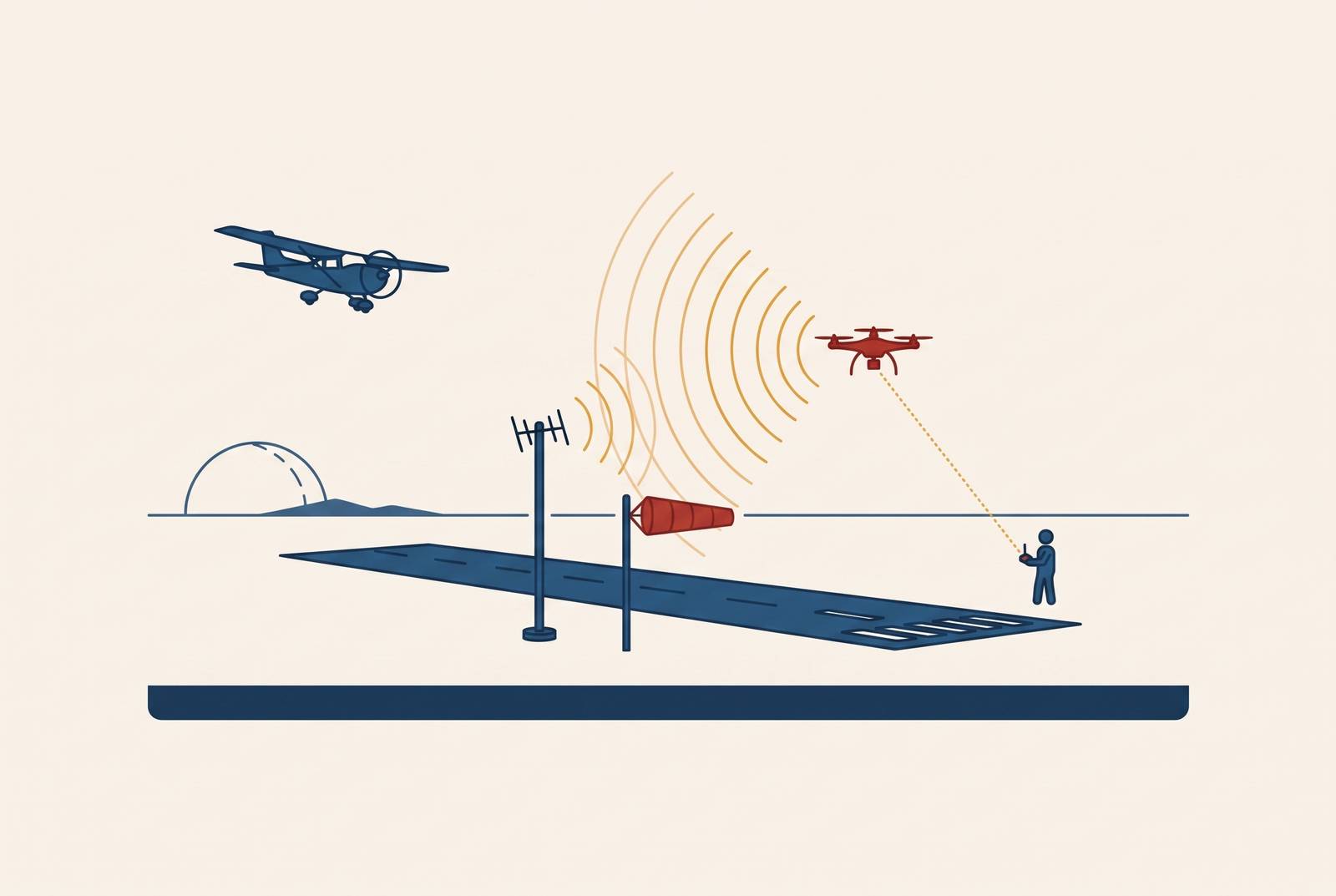
Passive RF sensors receive the radio signals exchanged between a drone and its controller. Most commercial drones use the ISM bands at 2.4 GHz and 5.8 GHz for command, control, telemetry, and video streaming during linked operation. These transmissions provide the evidence the sensor examines. It scans the spectrum, recognizes a signal consistent with a drone-controller link, classifies the UAS type, and estimates the direction or location of the aircraft and ground control station.
DroneShield describes its passive RF approach as identifying, classifying, and geolocating UAS and their ground control stations without transmitting signals. ACI’s counter-UAS strategy guide says that passive RF sensors cause no transmission interference and need no extra regulatory permissions for active emissions. Because the sensor does not broadcast, conventional methods cannot locate it through its own detection transmissions.
The operational benefit is persistent awareness without a camera’s visual line-of-sight requirement. Radio signals can still be blocked by obstructions, though the sensor has no need to see the aircraft itself. Deployment can also begin at a limited scale. ACI describes smaller airports as potentially needing only one strategically placed sensor, while larger sites benefit from a network. Because classification rests on communication signatures, birds, balloons, and other airborne objects are less likely to generate false alarms than with methods based on physical appearance.
What passive RF reliably detects — and the accuracy problem operators need to understand
A false confirmation of an airborne drone inflates apparent threat activity and weakens operator trust. That risk is distinct from simply missing a drone, and an aggregate accuracy figure can conceal it. The controller may be the source of confusion. A powered controller on the ground can produce signals that a detector interprets as evidence of a linked aircraft, even when no aircraft is airborne.
George Mason University research examined this controller-only failure mode by comparing ambient, controller-only, and linked-drone conditions. A detector trained only on linked-drone and ambient scans achieved very high balanced accuracy against those two states. When exposed to a powered controller without a linked aircraft, the same detector produced a high rate of false confirmations.
The researchers then added controller-only scans to training and applied a constrained decision protocol with confirm, reject, and defer outputs. False confirmations dropped sharply, but true-positive detection of linked drones also declined, and a substantial share of scans were deferred. Performance also varied across DJI Phantom 3, Hubsan H501S, and DJI Mavic Mini, with the compact scan performing substantially better for Hubsan and Mavic than for Phantom.
For airport operators, the lesson is to ask what each reported accuracy figure actually measures. Linked-versus-background accuracy leaves controller-only false confirmation unmeasured, so it shows only part of what can go wrong when the detector is in use. The evaluation needs a separate controller-only metric. Operators should ask vendors for that false-confirmation rate as well as aggregate accuracy against background RF. This tests a specific operational weakness without dismissing RF’s reliable detection of actively piloted commercial drones under standard conditions.
Where passive RF cannot reach — autonomous UAS and the boundary of its coverage
An autonomous drone that follows a stored flight plan without active ground communication sends no control-link signal for passive RF to pick up. This structural limit means that better training for a detector cannot create a signal that is absent. An RF-only system therefore cannot establish that airspace is clear simply because it detects no drone-controller communication.
An actor who understands RF detection can choose autonomous operation to avoid the monitored link, exploiting precisely the absence of an independent observer at an uncontrolled field. Communicating drones can also fall outside effective coverage. Terrain and structures can shadow signals at very low altitude, while frequency band and environmental conditions affect propagation.
DroneShield notes that frequency hopping and software-defined radio can exploit gaps in narrowband monitoring. Wideband spectrum coverage is therefore a meaningful sensor distinction, but it addresses signals outside a narrow receiver’s coverage rather than aircraft emitting no control link. These are different problems with different remedies. RF remains a necessary first layer in the proposed Class G architecture, while autonomous flight establishes why it cannot be the only one.
Why layered detection is the standard architecture and how RF anchors it at Class G scale
Embry-Riddle Aeronautical University researchers Joel Samu and Chuyang Yang found that layered multi-sensor fusion provides the most reliable detection of Low-Slow-Small targets in airport environments. Systems with only one sensor still have gaps in coverage, classification, and situational awareness. Each additional layer has a distinct role. With RF as the base, radar gives the range and altitude, electro-optical and infrared systems help with visual confirmation and classification, and acoustic sensing can help verify a drone at close range.
Integration can also reduce ambiguity within that base. DroneShield’s RfRecon uses ADS-B and AIS to filter cooperative traffic automatically, separating those signals from activity requiring attention. Filtering is not the same as authorization. ACI recommends connecting RF detection to a UTM system established as a prior authorization layer, allowing authorized and unauthorized operations to be distinguished.
The Embry-Riddle researchers recommend simple Remote ID reception where rural risk is low and more comprehensive sensor fusion for high-density hubs. For Class G sites between those poles, RF plus Remote ID reception is a practical place to start because it pairs passive detection with identification information that is available.
For an operator deciding where to begin, the implication is to establish that base before a complete sensor stack is available. Additional layers can address the site’s remaining coverage and classification needs. Data integration belongs in that initial planning. The researchers recommend standardized data-exchange interfaces into ATM and UTM so that detections become part of timely operational decisions.
How does digital ATC infrastructure enable UAS awareness at non-towered airports?
A digital tower installation supplies power, connectivity, processing, and situational displays that a passive RF node also needs. Its cameras, sensors, and data integration use a communications backbone capable of transmitting RF detections to a command display. The infrastructure can serve both surveillance functions. An airport moving first on a digital tower is therefore positioning itself to add UAS detection at marginal incremental cost rather than building an entirely separate support system.
That shared platform does not make detection equivalent to traffic control. RF shows communicating UAS, Remote ID helps identify them, and the proposed UTM connection shows whether they are authorized. The display brings those functions together so operators can see what is happening. Complementary sensors can then provide evidence that RF cannot, while standardized interfaces connect detections to ATM and UTM. This is how digital ATC infrastructure supports drone integration without pretending that one receiver manages all nearby drone traffic.
The FAA has issued digital tower guidance and granted system design approval, while its Office of Airports has issued guidance on AIP funding eligibility for digital tower systems. Funding now has a specific federal allocation. The One Big Beautiful Bill, signed July 2025, allocates $50 million to advancing remote tower systems as part of the FAA’s NAS modernization initiative.
The FAA is also seeking industry proposals for remote air traffic control tower systems, with potential multi-unit procurement over five years. For Class G operators, the practical implication is to build the digital tower funding case together with the case for the sensor infrastructure UAS surveillance requires. The procurement opportunity is time-bounded. Recent AIP eligibility guidance and the federal allocation create a window to pursue ATC and UAS surveillance capability within a single procurement cycle.
What airport operators and policymakers should take away about the limits of any ground-based detection approach
Airport operators generally cannot deploy jamming or kinetic countermeasures simply because a sensor identifies an unauthorized drone. There is a defined law-enforcement exception to that restriction. The SAFER SKIES Act in the FY2026 NDAA gives certified state and local law enforcement agencies active mitigation authority under defined conditions, and the rules that put it into effect take effect July 1, 2026. It does not confer general mitigation authority on airport operators.
Detection still supports coordinated response, incident documentation, escalation to authorized federal actors, and NOTAM issuance to warn arriving traffic. The FAA’s near-miss database compiles reports without validation or verification, and some reports may not involve drones. That limits both assessment of the underlying problem and benchmarking of a detection system’s contribution.
For policymakers, the next step is clearer response authority and escalation procedures for airports receiving actionable detection data. Passive RF and its complementary layers provide an available technical foundation for surveillance. The remaining gap is jurisdictional and procedural. Detection capability can now exceed an airport’s legal ability to act on what it detects.