Pilot-Rated Operators Evaluate Remote Digital ATC Platforms for Uncontrolled Airport Drone Corridors
Pilot evaluators test whether remote digital ATC can safely manage drone traffic at small airports.
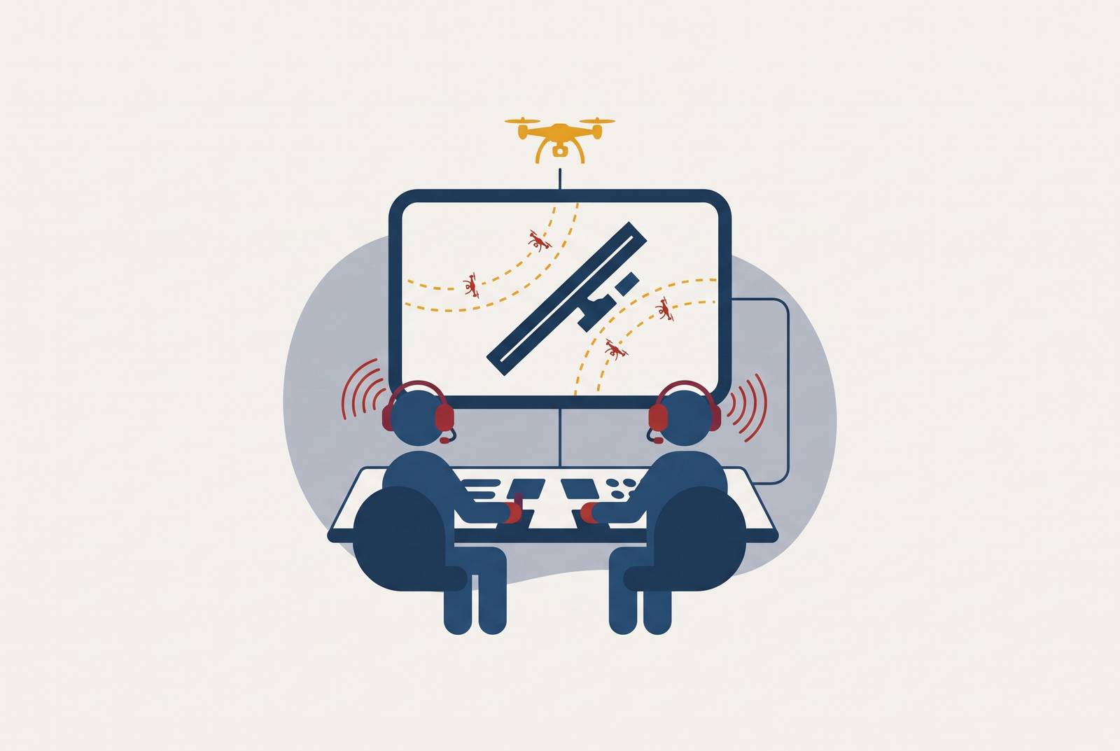
Digital ATC infrastructure can help bring UAS and drones into non-towered airports by combining remote observation, object tracking, familiar radio communications, and links to UAS Traffic Management services. Pilot-rated operators check whether those layers give them both a clearer picture and the authority they need to control traffic across the airport and its approach corridors. The decisive test is whether the system can provide affordable, authorized control where pilots currently coordinate traffic themselves.
Why uncontrolled airports are structurally unprepared for drone corridor traffic
Pilots build their shared picture by following established procedures, making calls on a common traffic advisory frequency, and scanning for other aircraft. No controller verifies that each pilot has heard the calls, located the traffic, or understood another aircraft’s intentions. The coordination depends on participation from every cockpit. When that participation fails, the airport has no central authority to reconcile the conflicting pictures before pilots act on them.
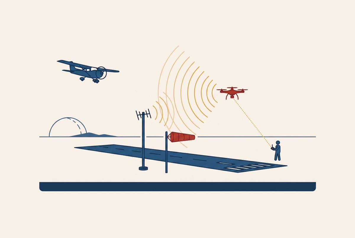
Drones introduce a different kind of gap into that arrangement. Most consumer drones are prohibited under FAA regulations from using aircraft-position broadcasting transponders, making them difficult or impossible to track through secondary surveillance and systems based on those broadcasts. They also do not supply the cockpit-to-cockpit traffic calls on which pilots depend. A drone can therefore enter the traffic pattern without contributing to either source of shared awareness. The existing arrangement lacks both a dependable way to see it and a common channel through which to coordinate with its operator.
This is the dominant infrastructure condition. The United States has approximately 527 towered airports compared with nearly 20,000 non-towered landing facilities, including public airports, private airstrips, grass and turf runways, gravel strips, and seaplane bases. Drone corridors add another class of traffic to places where pilots already have to pay attention and work together to coordinate flights.
What recent incidents show about the real cost of no authority in the airspace
On June 29, 2026, a JetBlue pilot reported a collision with a drone while approaching the runway at JFK International Airport. The aircraft landed safely, and an inspection found no damage. The FAA opened an investigation into the reported collision. The distinction between a pilot report and an established collision is important here. Even though there was no damage, an object that had no permission to be there entered the path of arriving aircraft and called for a formal response after landing.
Hours later, a helicopter pilot reported a near miss with a remote-controlled airplane near JFK. Together, the reports show the limits of an airport’s existing control arrangements when an unmanned operator does not participate in them. A controller’s authority over cooperating aircraft does not, by itself, bring an unidentified remote-controlled aircraft into the same coordination system.
Jersey’s disruption exposed the operational cost more directly. Drone activity interrupted arrivals from approximately 8:20 p.m. to at least 10:30 p.m., with no arrest or identified operator confirmed as of early October 31, 2026. Accountability remained unresolved after the immediate disruption. More significantly for small-airport planning, Jersey had no second runway onto which arrivals could shift. Once the drone was present, arrivals stopped rather than moving to another runway, a constraint shared by hundreds of small U.S. fields.
How a pilot-rated operator reads these failures differently than a regulator or technologist does
A pilot-rated operator begins with the decision inside the cockpit. At a non-towered airport, the pilot decides when to enter the pattern, how to communicate intentions, and whether uncertainty warrants a go-around. Pilots must make those decisions before they have a full account of what happened. They require a usable picture now. This gives the evaluator a different starting point from either a regulator defining responsibilities or an engineer measuring sensor performance.
The NASA Aviation Safety Reporting System’s September 2025 CALLBACK issue states that simple oversights or cutting corners at non-towered airports may degrade safety more than the same infractions under a tower controller’s supervision. Its reports describe opposite-direction landings, traffic-pattern conflicts, pilots entering the wrong CTAF frequency, and a student pilot who did not know another aircraft was on the runway. These are failures of shared understanding as well as observation. A pilot-rated evaluator reads them as situations a platform must help resolve.
Does the system see the traffic the pilot needs to understand, and does it communicate that picture through familiar procedures? Does it create authority that both manned and unmanned operators will recognize? Better detection alone cannot answer those questions. The platform must connect what it observes to decisions that traffic participants can understand and act on.
What technology gives non-towered airports situational awareness near drone corridors
Remote digital ATC replaces the physical tower’s out-the-window view with cameras, sensors, and panoramic displays at a remote workstation. High-resolution cameras provide a continuous 360-degree view of the airport and surrounding airspace, augmented by infrared and night vision for low-visibility conditions. Radar, weather information, and aircraft transponder data can then be integrated into the same interface, while some platforms overlay flight paths or identifiers on the visual feed.
Aircraft within visual range can be tagged with tail numbers, and AI-assisted platforms add object recognition, tracking, optical and radar data fusion, automatic detection of potentially hazardous situations, and transcription of pilot-controller communications. These functions make observations easier to interpret. For a pilot-rated evaluator, the useful change is from an anonymous object to a track whose position and movement can inform a traffic decision. Tracking a small UAS, however, is not the same as establishing who operates it.
Atrak/MAESTRO belongs in this platform assessment, but the named example must remain distinct from the category’s capabilities. CSG identifies Atrak as a member of its industrial and technology group. That affiliation does not establish which sensing, identification, or integration functions a particular configuration delivers. The evaluation therefore turns on the functions available in the proposed installation.
Radio communication and procedures are identical to those of a staffed physical tower, so pilots need not learn a different method merely because the controller works remotely. Adding control still changes an airport that was previously non-towered. It means the remote interface uses established ATC practice. One controller can potentially serve multiple low-traffic airports from a remote center, changing the economics of coverage without requiring a separate physical tower at each field.
What operational deployments reveal about the gap between capability and readiness
Leesburg Executive Airport (JYO), Virginia, provides the clearest U.S. distinction between working technology and deployable service. Annual traffic climbed to 79,000 by the time its remote tower system was shut down in June 2023, following years of error-free ATC operations. The system had demonstrated operational value. Nevertheless, the FAA required vendors seeking System Design Approval to install and test their systems at its Technical Center in Atlantic City before wider authorization. The whole installation was taken out in mid-June 2023.
JYO is therefore not a simple technology failure story. Its record shows that successful local operations did not resolve the institutional pathway to continued service. To be ready for use, equipment must work and have a route to authorization. An airport cannot treat a strong operational demonstration as proof that the service can remain in place.
Kongsberg Defence & Aerospace announced a July 2024 agreement with Avinor to add seven digital towers to the 14 operating from its Remote Tower Center in Bodø. The additions bring the planned total to 21, making it the largest Remote Tower Center in the world. ENAV announced in April 2025 that its Brindisi and Padua control centers would become remote tower centers serving 16 low-traffic airports, with a goal of 26 by 2033. These programs make shared coverage a national operating model.
Western Sydney International Airport shows that digital towers can serve more than small fields. Built from scratch around digital air traffic control, its digital tower system prepared it for cargo flights in July 2026 and passenger operations in October 2026. Scale alone, however, does not settle U.S. readiness. The FAA’s April 2026 request for proposals for remote air traffic control tower systems is the more direct domestic signal.
How UTM policy shapes what a remote digital ATC platform must integrate with
The FAA’s August 2025 proposed rule for Part 108 and Part 146 places drone integration within a federated information network. It proposes performance-based rules for low-altitude UAS operations beyond visual line of sight and for the automated data services supporting them. Those services may be self-provided or contracted from third parties. The FAA would not act as the central separation provider for all participating drone operations.
Instead, automated data service providers would give operators information to help them deconflict flights and run them efficiently. The parallel with CTAF is useful but limited. Both arrangements depend on participants using shared information to coordinate their own operations, while UTM scales that exchange through automated services. A remote digital ATC platform therefore needs to participate in the information network by linking its view of the airport with the services that support nearby drone flights.
A platform may show what is inside the airport fence in detail yet have no link to corridor activity where aircraft approach and depart at low altitude. Traffic crosses the resulting operational seam even when the information does not. Under the proposed framework, UTM connectivity would become part of the operating requirements for corridor services seeking BVLOS authorization, so integration belongs in the present platform assessment without treating the proposal as an enacted rule.
The evaluation criteria that emerge when pilot judgment drives the platform assessment
Recognized authority is the first criterion. Object tagging and conflict detection supply evidence, but the platform must also support communications that manned and unmanned operators treat as authoritative. Familiar radio protocols provide continuity for pilots. They do not, on their own, establish a connection with every drone operator. A credible assessment distinguishes the system’s ability to observe traffic from the operational arrangements through which that traffic receives and follows instructions.
Environmental performance and corridor coverage form the next two criteria. Night vision, infrared augmentation, and low-visibility sensing are basic needs where there would otherwise be no coverage at night or in low visibility. Geographic coverage deserves the same scrutiny. An installation that watches the airport surface but leaves the Class G approach environment unobserved excludes some of the traffic it is intended to cover. The relevant boundary is the airport’s full traffic environment.
UTM interoperability is the fourth criterion because corridor management extends beyond the remote controller’s display. The platform needs to exchange information with automated data service providers. Deployment readiness conditions that judgment.
Affordability is the fifth criterion and the decisive test of reach. A platform that costs as much to install as a traditional staffed facility would still leave small airports unable to afford coverage. Sharing remote operation changes how those costs are spread. The FAA’s April 2026 RFP for up to 50 units puts procurement at meaningful scale in scope, although it does not by itself establish any installation’s economics. These criteria point toward affordable domestic digital ATC designed for the same airports whose lack of control coverage makes drone integration most difficult.