Computer Vision and AI in Airport Surface Monitoring
AI-powered cameras catch surface hazards that inspectors miss between visits.

Computer vision and AI in airport surface monitoring provide the continuous, consistent awareness that periodic inspection and traditional surveillance cannot deliver alone. For non-towered airports weighing unmanned aircraft systems and drone integration, the digital ATC architecture brings together camera-based surface monitoring, traffic sensors that add to it, and a layer of displays for the controller. These layers serve different purposes, and their integration offers the strongest case for extending safety coverage to airports that lack it.
Why airport surface monitoring is a fundamentally different safety problem than airspace monitoring
Once wheels touch pavement, aircraft enter a tightly constrained environment shared with ground vehicles and personnel. Runways, taxiways, and aprons concentrate movements whose speed and direction can change within seconds. The geometry leaves little room for error. Unlike airborne separation, surface safety also depends on the condition of the pavement beneath the traffic and the visibility of the markings that guide it. An accurate aircraft position report cannot establish whether its path is clear of debris.
Surface movement also spans an unusually wide range of speeds. An aircraft taxiing slowly can occupy the same bounded network as one accelerating for takeoff or completing a high-speed landing rollout. DESCENT research from Graz University of Technology documents why this variability requires domain-specific adaptation rather than a direct transfer of autonomous-driving models. Road-traffic assumptions do not transfer cleanly to aircraft. A surface model must take into account both the layout of the airfield and the aircraft’s operational phase.
Foreign object debris, pavement cracks, and worn markings accumulate between inspections without producing any transponder report. Pilot deviations also cause far more than half of runway incursions, and many of these occur under visual flight conditions. Good visibility alone is not an adequate safeguard. Surface safety therefore requires both an account of what occupies the pavement and an understanding of how movements could conflict, rather than treating ground operations as a smaller version of airspace monitoring.
How traditional inspection and surveillance methods fail at the surface level
Manual inspection has three compounding weaknesses, which are coverage gaps, consistency gaps, and documentation gaps. A walkthrough records conditions only where and when an inspector looks, leaving defects that emerge between visits outside that observation window. Sustained attention is also a finite resource. Rain, darkness, and long shifts make missed cracks or debris predictable vulnerabilities. Different inspectors can then assign different severity ratings to the same condition, weakening the basis for maintenance priorities.
Those inconsistencies persist when observations become maintenance records. With analog reporting, it is hard to produce quantified, geo-referenced condition data of the kind that FAA grant programs increasingly require to justify capital projects. A finding can therefore be operationally useful yet insufficiently documented for funding decisions. The gap extends beyond individual inspection teams. A federal transportation inspector general found in 2025 that the FAA analyzed runway incursion data airport by airport and lacked a way to bring that analysis together system-wide. Local observations and local investigations do not automatically become a coherent account of risk.
Radar, multilateration, and ADS-B contribute traffic information, but they do not by themselves provide all-area, all-weather awareness of surface movements and physical conditions. Their observations are not interchangeable with pavement inspection. The FAA’s 2021–2024 dataset placed DeKalb-Peachtree Airport (PDK), a primarily non-commercial airport, first among U.S. airports with 103 incursions. That concentration shows the scale of the problem but does not show which monitoring arrangement caused it. It also shows why surface safety cannot be framed solely around the needs of large commercial airports.
What computer vision and AI actually do at the airport surface
Computer vision inspection follows a pipeline of capture, processing, and output. At the capture stage, fixed perimeter and apron cameras keep areas in view, while drones on programmed routes and vehicle-mounted imaging capture runway and taxiway surfaces, methods that iFactory’s platform documentation describes as working together. Coverage depends on how imagery is collected. A fixed camera can watch its field of view continuously, whereas a drone or vehicle observes a surface while traversing it, so automated collection should not be confused with uninterrupted observation of every location.
At the processing stage, deep-learning models compare imagery with aviation-specific defect libraries and baseline condition signatures. The targets include cracks, spalling, joint deterioration, foreign object debris, and marking degradation. Classification is the central change from manual observation. Instead of depending on each inspector’s judgment at each visit, the system applies the same criteria across the imagery it receives. Pavement models trained on PCI distress categories can distinguish cracking, raveling, rutting, and joint deterioration, giving maintenance teams a consistent basis for judging severity.
The output stage turns those findings into repair work. Detected conditions are geo-referenced, classified by severity, and routed as prioritized work orders containing coordinates, photographs, and condition-change trends. This closes the documentation gap as well as the detection gap. A photograph shows the condition, its coordinates locate the work, and its recorded severity supports prioritization. The resulting record connects an observation to a maintenance decision rather than leaving it as an isolated entry in an inspection report.
Different image sources address different blind spots. Fixed arrays at runway thresholds and taxiway intersections support real-time debris detection, while drone imagery can reveal standing water, surface depressions, and fuel spill contamination on aprons. Drone-based structural imaging also shows structures from angles that are hard to reach during manual inspection. The common mechanism is consistent visual classification. It avoids inspection fatigue and makes repeated observations comparable, but its immediate output remains limited to a finding about a visible condition.
Where AI-driven surface monitoring reaches its current limits and what research is doing about them
Detecting a crack and predicting an incursion are different technical tasks. Computer vision systems now in use are best at finding physical-layer problems such as debris, pavement damage, and marking wear. Those capabilities do not automatically model interactions among aircraft, vehicles, and personnel. Prediction requires more than an accurate current position. It must account for how an actor can move through the airfield and how that movement changes across operational phases, particularly when slow taxiing gives way to rapid acceleration.
DESCENT addresses this problem through a Potential Reachable Set context sampling mechanism. The mechanism adapts the spatial context supplied to the model to the aircraft’s operational phase. Context selection is the key technical distinction. A slow-taxiing aircraft and one in high-speed rollout need different portions of the airfield represented for useful forecasting. The research reports improvements over prior state-of-the-art baselines on the Amelia-10 benchmark, with the largest gains in safety-critical scenarios. Those benchmark results show progress but do not show that predictive conflict warning is already in standard use.
The Amelia framework supplies a broader data foundation for this work. Its Amelia-42 dataset collects airport surface movements across dozens of U.S. airports, enabling trajectory methods to be developed and compared at meaningful scale. Research is also exploring multi-task learning, in which one model learns several related tasks. The purpose is more coherent perception and decision-making, although that research direction should not be mistaken for a deployed capability at every monitored airport.
A debris alert reports what is already visible, while a trajectory forecast estimates what may happen next. Operational integration must preserve that distinction. As forecasting matures, surface systems may provide earlier warning of developing conflicts, but strong defect detection alone does not establish that a system can predict incursions. This limitation is particularly important when discussing mixed aircraft and drone operations, where a camera installation should not be presented as a complete traffic-control solution.
How digital tower systems integrate computer vision into operational ATC situational awareness
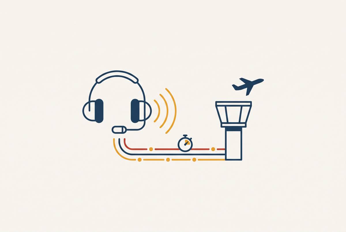
Under the FAA’s digital tower program definition, a digital tower center uses cameras and sensors to show controllers what they would traditionally see through tower windows. Controllers use dedicated digital displays to manage traffic instead. The display becomes the operational point of convergence. Computer vision can help make sense of what is visible, and other surveillance sources can add traffic data. This extends the logic of continuous inspection into the control environment without confusing maintenance work orders with controller decisions.
A full sensor suite usually has high-definition cameras that provide 360-degree coverage, infrared sensors for low-visibility operations, surface radar or multilateration to track movement on the ground, and ADS-B receivers to track traffic in the air. Each source addresses a different observation need. Cameras show the scene, while other surveillance helps locate traffic beyond what the visual feed alone shows. Augmented reality overlays can show aircraft identifiers, flight paths, and conflict alerts right on that feed. The value lies in the composite view rather than a claim that any one sensor replaces all the others.
Operational deployments provide a firmer maturity test than a feature inventory. LFV’s official history identifies Örnsköldsvik, Sweden, as the first remotely managed airport in 2015. Kongsberg’s 2025 reporting documents 14 Norwegian airports managed from a single Remote Tower Centre in Bodø, with seven more scheduled to go live. Remote control is therefore an operating model. That record establishes the maturity of remote tower operations, although it does not establish that every emerging AI prediction method has reached the same stage.
For low-traffic airports, a remote center also changes the staffing model because a single controller can potentially manage multiple airports simultaneously. That possibility is distinct from eliminating the controller. Continuous camera coverage supplies persistent observation, and the digital environment presents it where traffic-control decisions occur. As with automated inspection, the advantage begins with reducing gaps in observation. The control layer then gives those observations an operational role that standalone cameras or a maintenance analytics platform cannot provide by themselves.
How can airports without a tower gain surface awareness for nearby UAS operations?
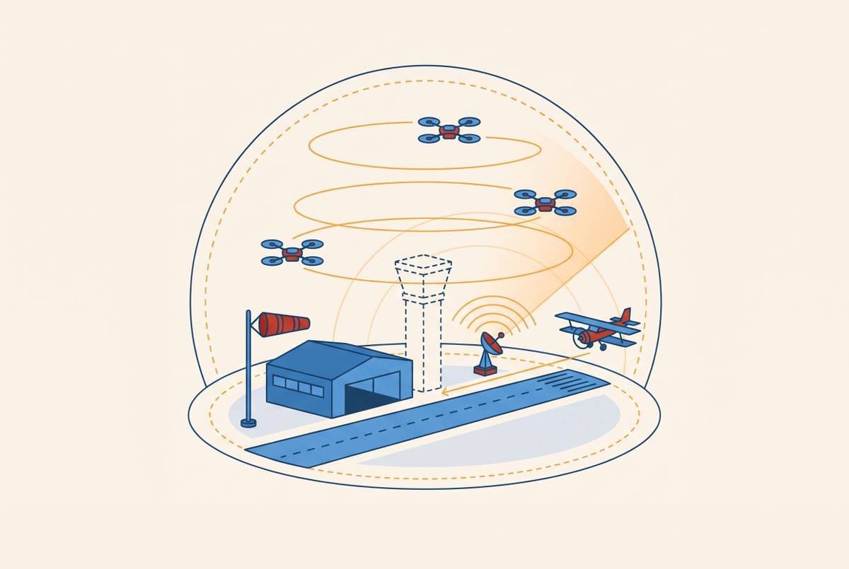
At a non-towered airport, pilots self-report positions and sequence themselves without a controller’s corrective input. Where there is also no continuous monitoring or dedicated inspection data, these safety gaps add to one another. Nearby drone operations sharpen the need for shared awareness. The relevant technology is a layered combination of computer vision inspection, traffic surveillance, and digital tower infrastructure. Each layer answers a different question about surface condition, traffic movement, or the information available to a controller.
For operators considering deployment, the sequence implied by those layers begins with coverage and ends with an operational control function. The layers should not be treated as interchangeable. Inspection drones can collect surface imagery, but that use does not itself demonstrate an ability to manage drone traffic. Digital ATC infrastructure can provide an awareness foundation for drone integration without making current surface detection equivalent to autonomous conflict management.
The economic case is strongest where a conventional tower is difficult to justify. Manned towers cost millions to build and need their own staff, while digital systems save the cost of building a physical tower and let low-traffic airports share controllers. They still require sensors and an operational system. Automated inspection also gives airports that cannot staff a dedicated inspection team a way to monitor conditions and keep condition data on record. For smaller fields, these are related benefits because both address coverage that a labor-intensive model leaves difficult to sustain.
U.S. policy is beginning to support that transition. The “One Big Beautiful Bill,” signed in July 2025, allocates $50 million for remote tower systems as part of the FAA’s Brand New Air Traffic Control System initiative. The FAA released an RFP in April 2026 to begin spending that allocation. Approval remains a required part of deployment. The agency’s System Design Approval path includes testing at the William J. Hughes Technical Center, providing a formal route for systems to earn operational approval in the NAS.
The immediate opportunity is to extend established monitoring and remote-control capabilities without waiting for every prediction problem to be solved. A deployment case can rest on continuous observation, consistent inspection data, and controller access to a fused traffic picture, while treating predictive conflict warning and drone traffic management as capabilities that require their own evidence.
Sources
- AI Airport Inspection (2026): Computer Vision for Facility Maintenance
- Airport Computer Vision AI Camera Inspection CMMS Guide
- Computer Vision and AI for Airport Facility Inspection Automation
- DESCENT: Directed Edge Scene Encoding for Airport Surface Movement Prediction
- Multi‐Task Learning for Airport Surface Surveillance: A Review - Fu - 2026 - Expert Systems - Wiley Online Library
- Real-Time Recognition of Airport Surfaces and Horizontal Markings for Airside Driver Assistance: Model Comparison and Embedded Feasibility